Training on GIS Mapping & Digital Tools for Road Asset Management
Professional training on GIS mapping and digital tools for efficient road asset management, maintenance planning, and in...
Are you ready to harness the potential of geospatial technology, analyze data with precision, and transform insights int... ... Read More
Master GIS & remote sensing. Learn spatial analysis, mapping, & data interpretation. Our short courses cover geospatial tech, satellite imagery, & geographic data. Advance your skills!
Professional training on GIS mapping and digital tools for efficient road asset management, maintenance planning, and in...
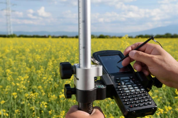
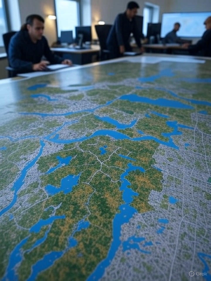
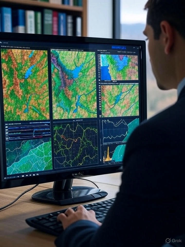
Learn GIS for traffic and highway engineering with hands-on case studies and practical exercises for improved planning,...
Learn how to design, deploy, and manage mobile data collection systems using Survey123, Field Maps, and ODK for field-ba...
Gain practical skills in remote sensing image acquisition and learn the latest methods and technologies for spatial data...
Learn to design, implement, and manage Spatial Data Infrastructures (SDIs) for effective geospatial data governance and...
Gain practical skills in using GIS for energy planning, renewable resource mapping, and spatial decision-making in energ...
Gain practical skills in GIS mapping and spatial analysis to support economic planning, business strategy, and data-driv...
Gain practical skills in analyzing, visualizing, and interpreting large-scale spatial datasets with Google Earth Engine...
Learn how to apply GIS for urban planning, infrastructure management, environmental monitoring, and data-driven governan...
Gain advanced skills in sensor integration and geosensing to enhance remote sensing applications for environmental monit...
Gain practical skills in GIS data collection and map creation using Google Earth Pro for planning, research, and reporti...
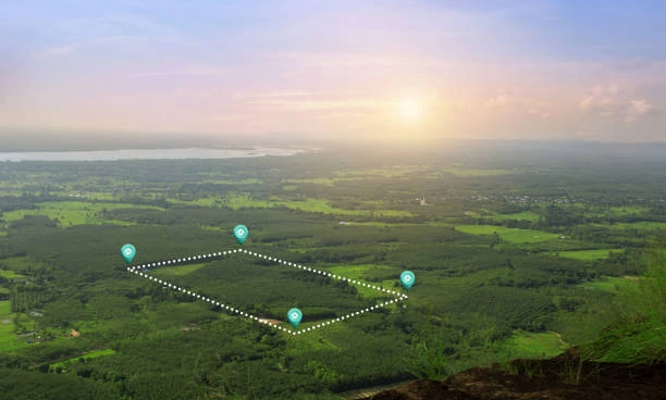
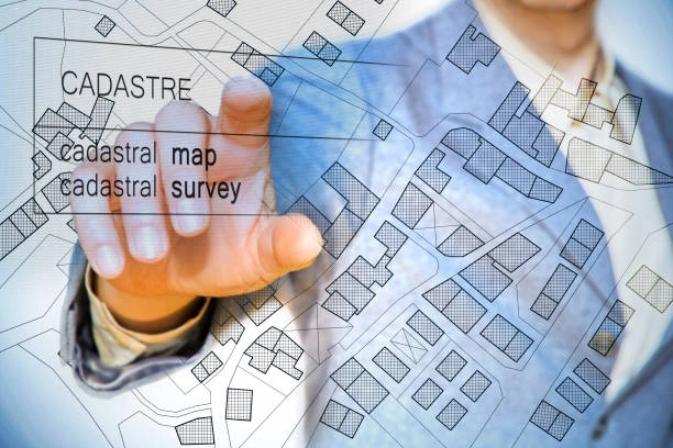
Gain practical skills in GIS-based spatial planning to support development, zoning, and risk assessment decisions.
Gain advanced skills in spatial analysis using Python and ArcGIS to automate GIS workflows and support data-driven plann...
Learn how to use GIS and spatial analysis for effective crime mapping, hotspot detection, and intelligence-led policing.
Build practical skills in using spatial and satellite data to support climate resilience and policy development.
Master QGIS Desktop and QGIS Server for advanced mapping, spatial analysis, and web GIS deployment.
Enhance decision-making with advanced inferential statistics. Gain hands-on experience using SPSS, Stata, or R for appli...
Learn to design and deploy web-based GIS applications using QGIS and OpenGeo Suite for real-world decision-making.
Gain practical skills in GIS data collection, visualization, and mapping to improve project planning and decision-making...
Learn to collect, analyze, and map WASH data using GIS tools to improve decision-making and service delivery.
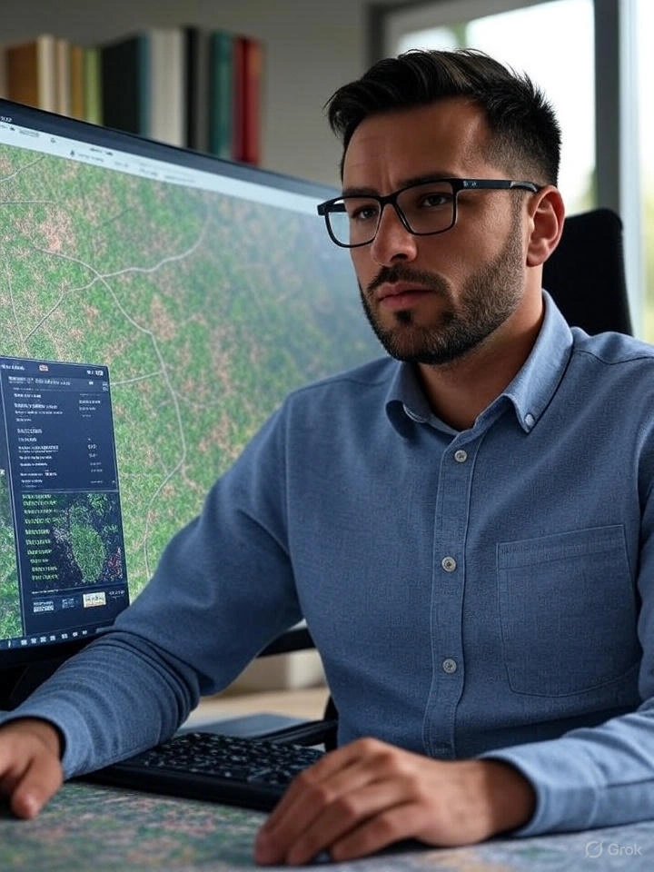
Learn GIS/RS tools for forest cover mapping, deforestation monitoring, and climate reporting with real-world application...
Enhance disease surveillance with our GIS Mapping & Spatial Analysis training. Learn outbreak tracking, hotspot detectio...
Master hydrological modeling, rainfall prediction, and watershed analysis using GIS & RS tools.
Learn GIS applications for humanitarian assistance, disaster response, refugee management, and recovery planning.
View all available dates and book your preferred training schedule
View All Scheduled Dates
Get updates on the latest posts and more from Ideal Workplace Solutions straight to your inbox.
Take your career to the next level with our industry-leading training programs. Designed to build skills, boost confidence and drive success, we empower professionals like you to excel in your current role or explore new opportunities.